01Survey
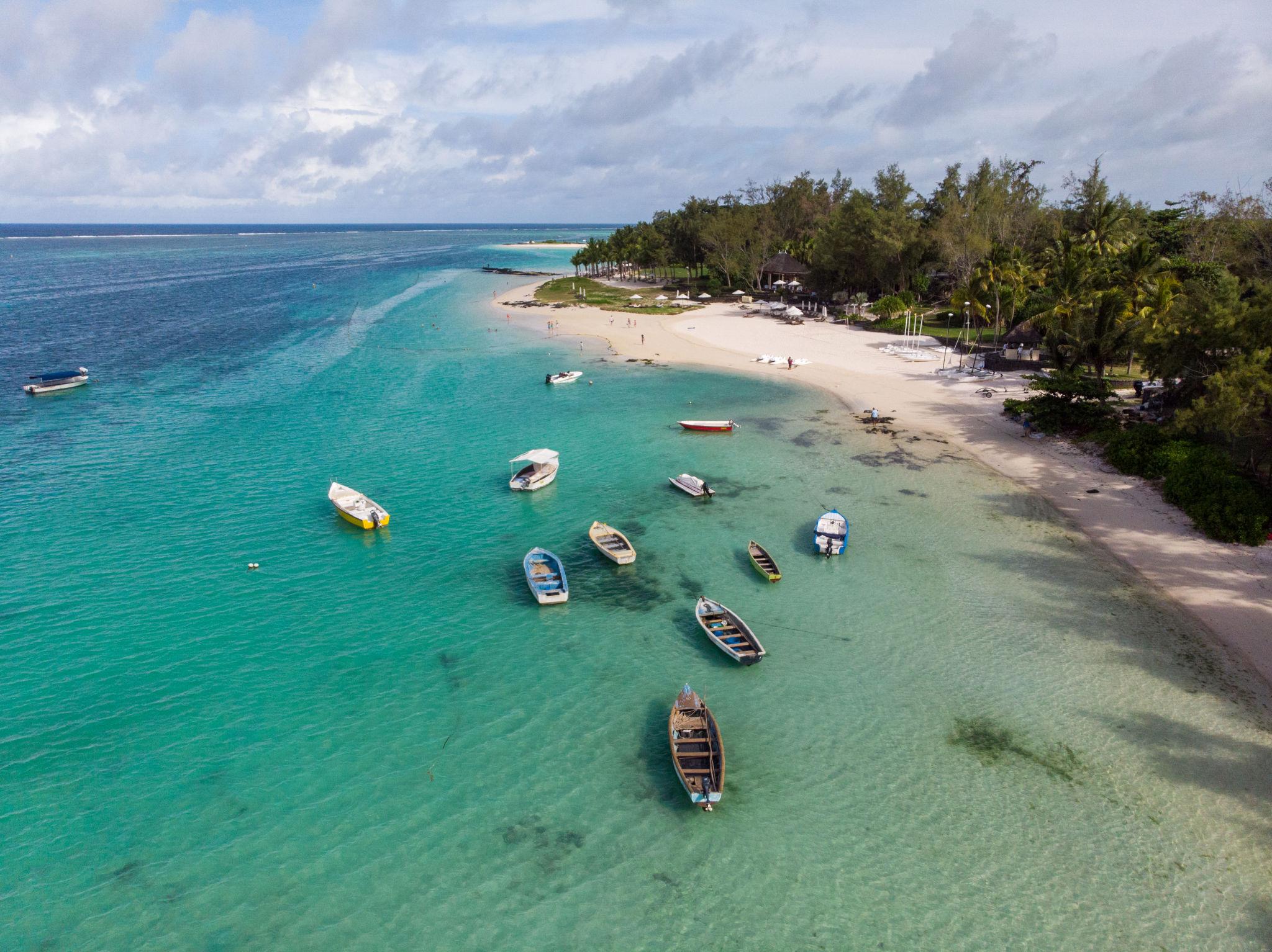
Aerial Surveys & Orthomosaics
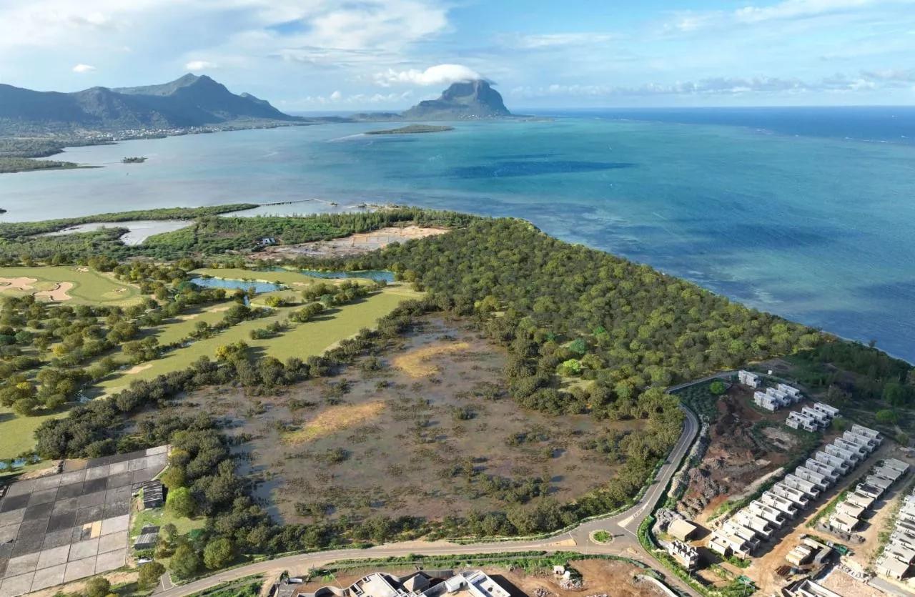
Centimetre-accurate, georeferenced maps of any site — produced in days, not weeks, with full CAD & GIS compatibility.
Read more

Licensed pilots. Survey-grade equipment. A native understanding of this island — its microclimates, its airspace, the nuances outsiders miss. We bridge raw aerial data and the decisions that follow.
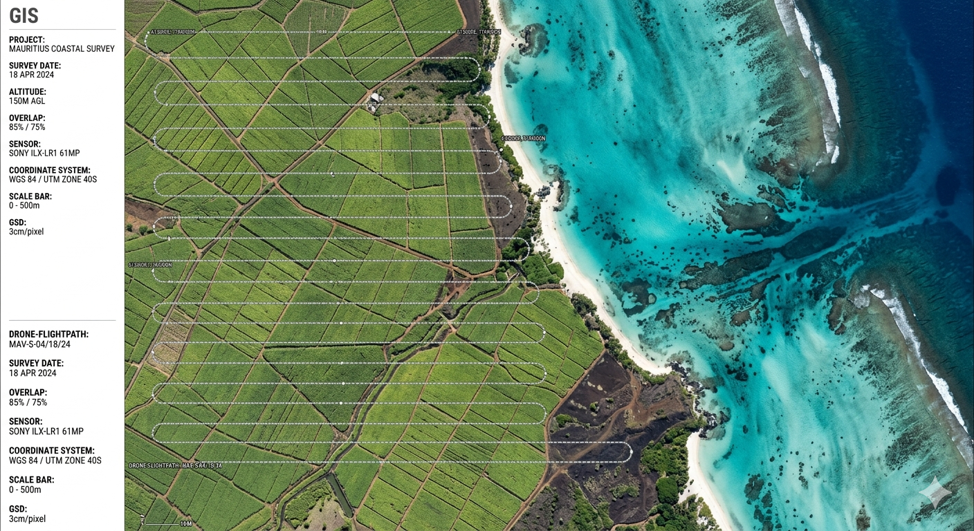
Centimetre-accurate, georeferenced maps of any site — produced in days, not weeks, with full CAD & GIS compatibility.
Read moreBroadcast-quality aerial footage, colour-graded and edited to brief — for hotels, developers, and brand films.
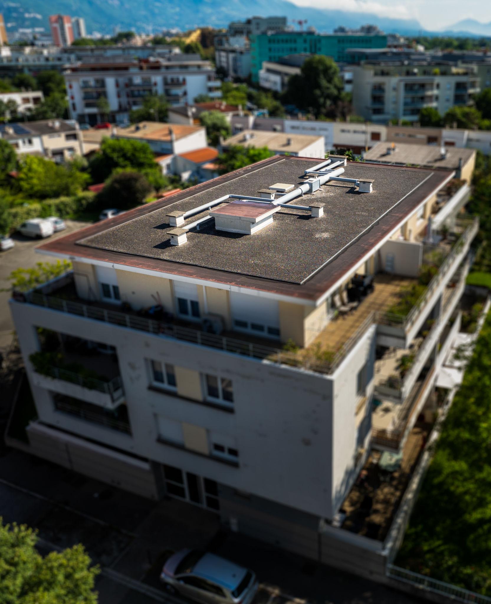
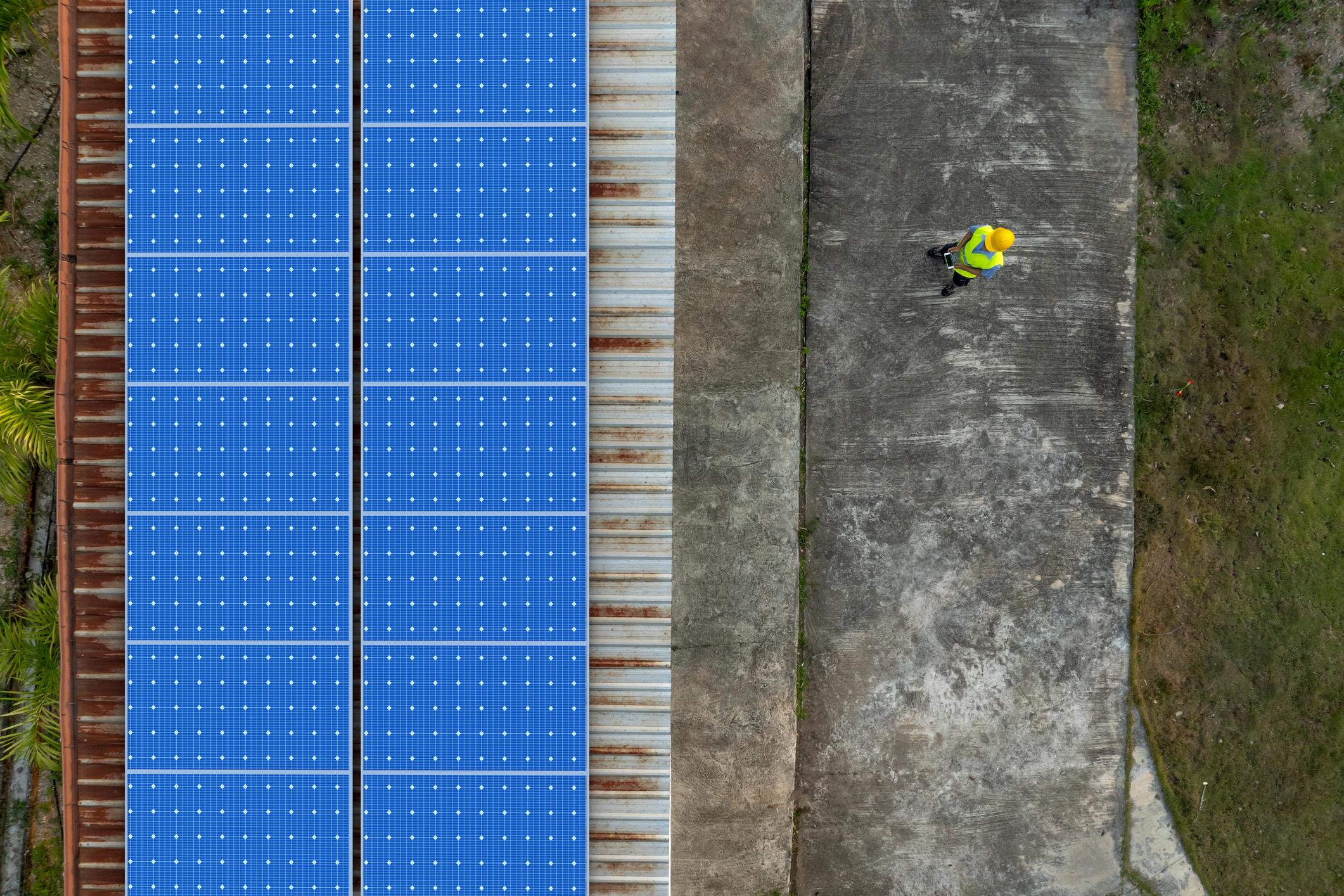
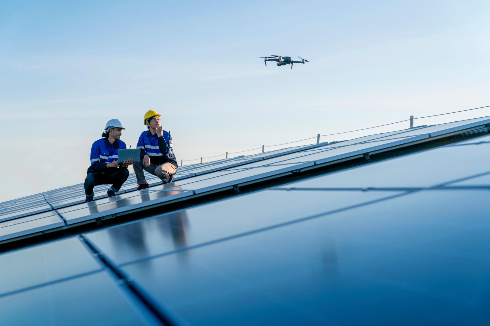
Read moreDetailed, annotated visuals of rooftops, towers, façades and solar arrays — without scaffolding or shutdowns.
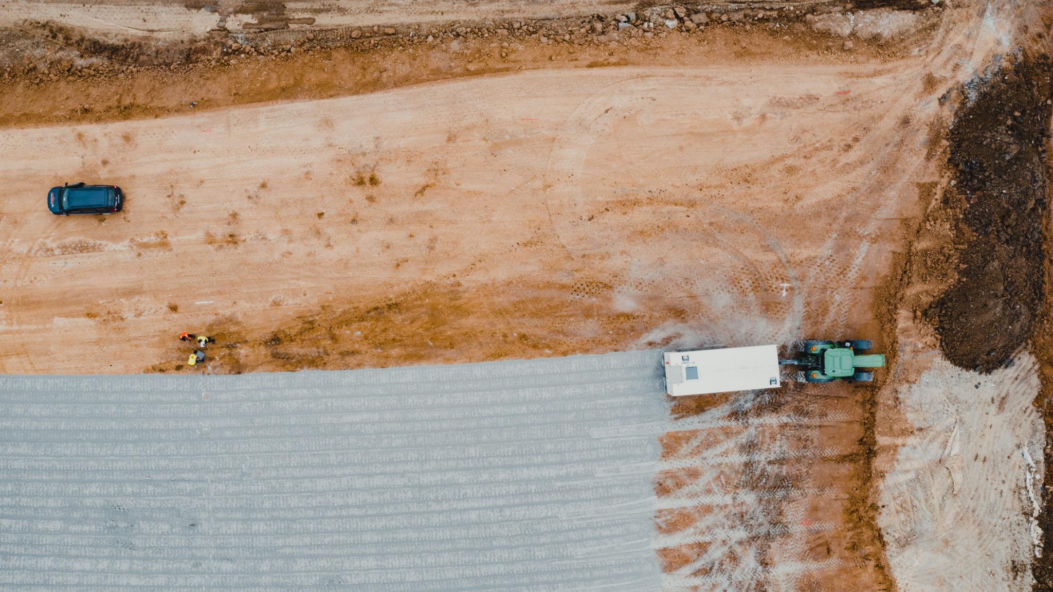
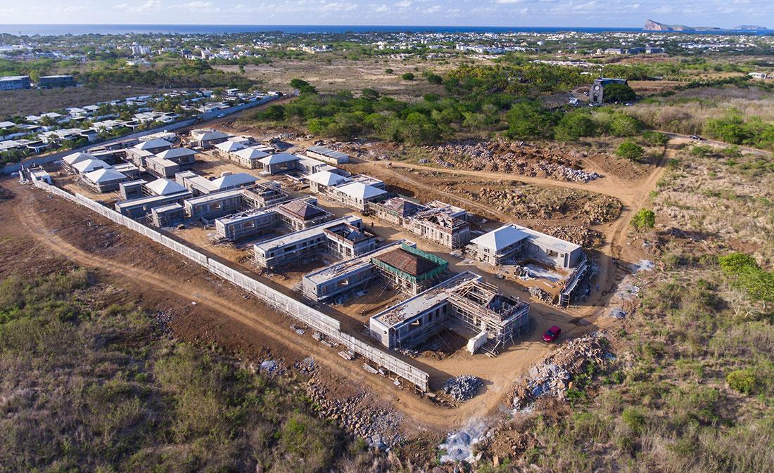
Read moreScheduled aerial documentation with volume measurements and milestone reports stakeholders can trust.
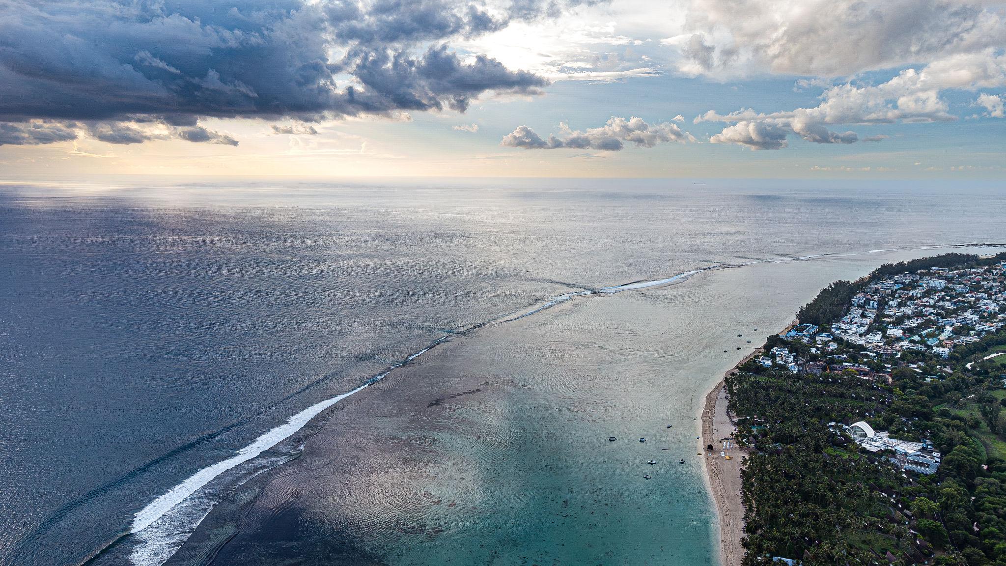
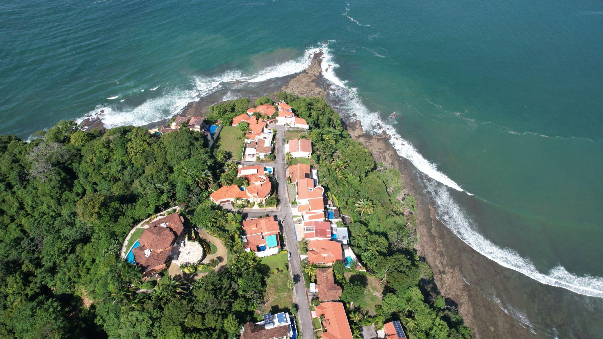
Read morePremium aerial imagery shot at the right hour — showing the property in context with its setting, garden, and view.
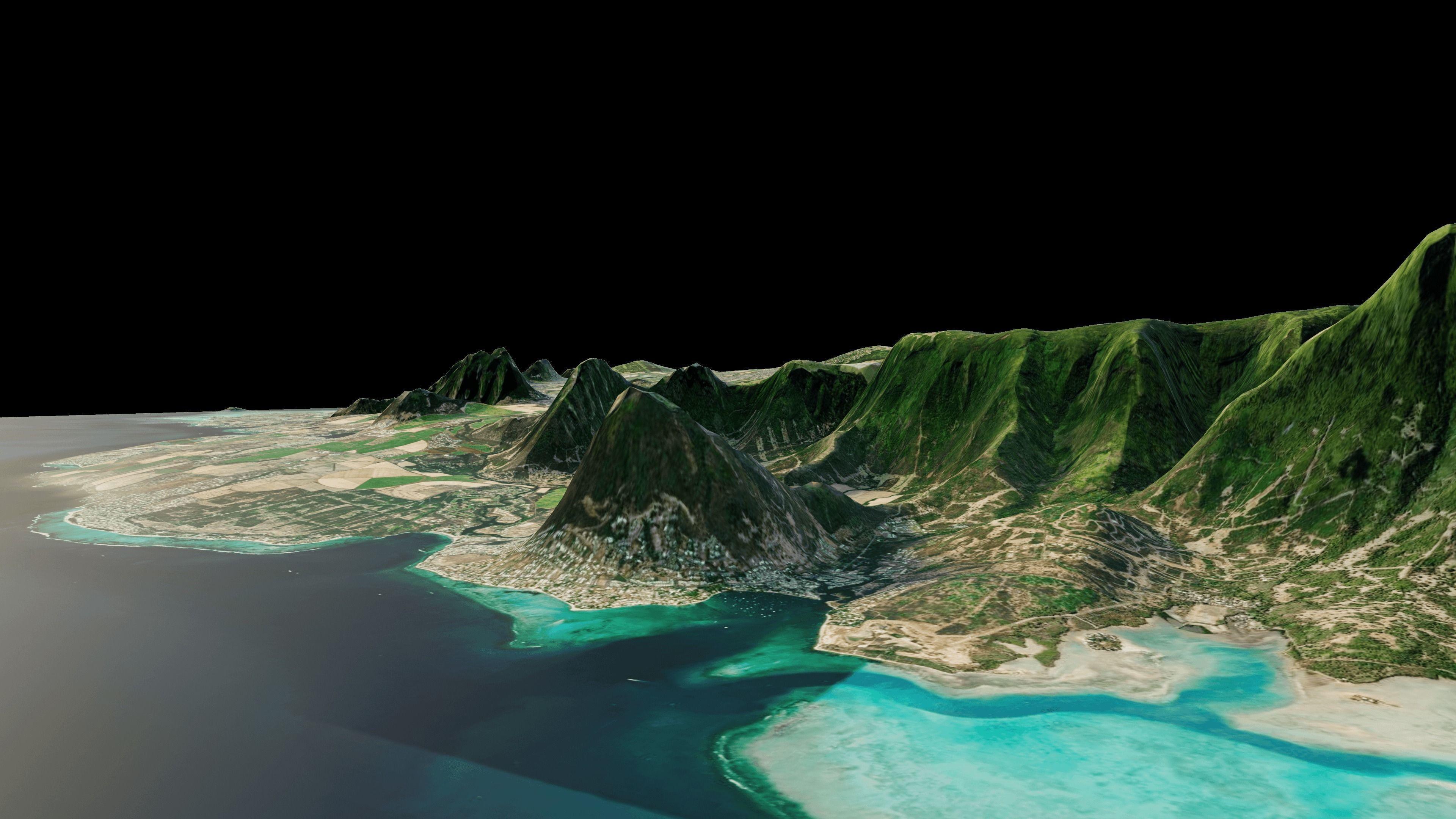
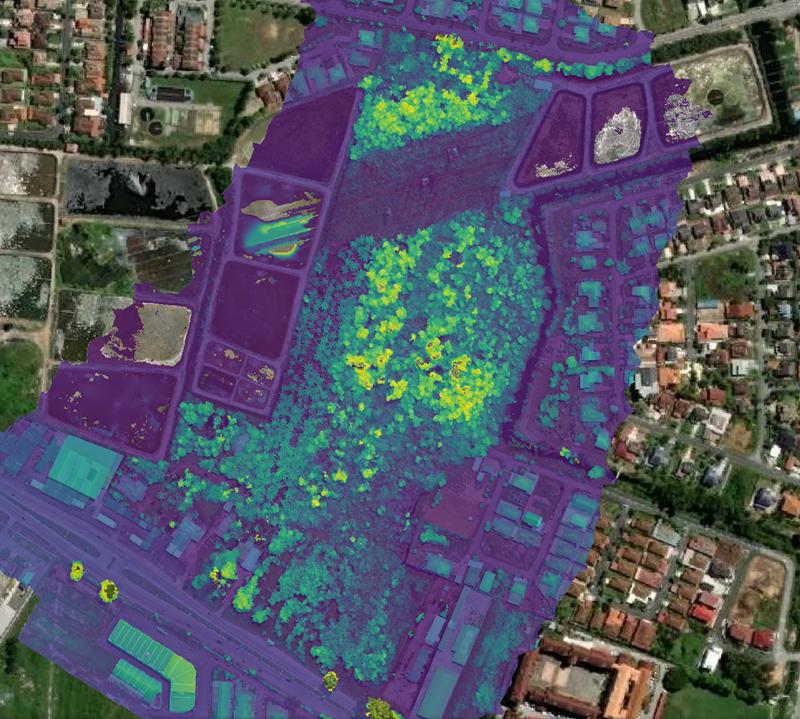
Read moreTextured 3D meshes, point clouds and DSM/DTM exports — ready to drop into Revit, AutoCAD, or ArcGIS.
Read moreWhere location data becomes strategy — land-use, change detection, route optimisation, environmental monitoring.
Read moreWe scope the question, map the airspace, and design the flight — every metre accounted for before take-off.
Licensed pilots execute the mission — cinematic captures or survey-grade grids, captured to the brief.
Footage colour-graded, data georeferenced, reports written — in the format your team already uses.
"They came back with footage we'd never have got from the ground. A survey that used to take a fortnight, delivered in two days."

Every flight runs to Mauritius DCA standards. Permits, safety, insurance — sorted before we lift off.
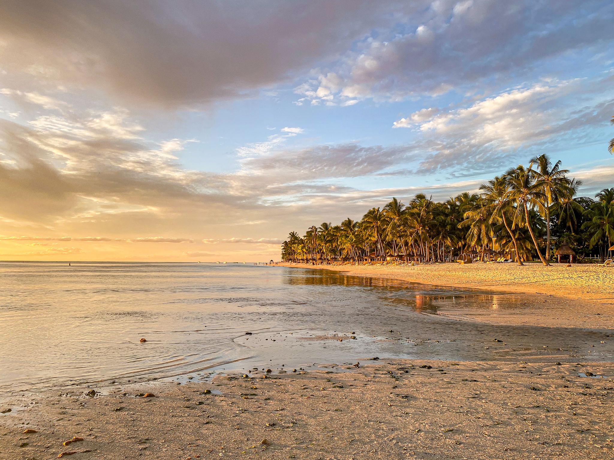
Sugar estates of the north, the cliffs of Le Morne. Microclimates and airspace nuances outsiders miss.
Flight planning to GIS processing. One contact. Zero gaps.
Easy scheduling, quick turnaround — one-day shoots or multi-month programmes.
No templates. Equipment and deliverables built around your question.
High-res sensors, GPS ground control, photogrammetry & GIS pipelines that hold up.
Construction companies, real estate developers, infrastructure firms, property managers, agricultural estates, government agencies, environmental consultants, and logistics companies across Mauritius.
Centimetre-level. Pre-planned flight paths, GPS-aligned ground control points, and high-resolution imaging give you data that holds up to billing verification, compliance audits and engineering analysis.
Yes. Every operation complies with the Mauritius Department of Civil Aviation, local drone laws, and strict data-privacy standards. We hold all required permits for commercial flight.
Islandwide — every district of Mauritius and its territories. The quality of the deliverable is the same whether you're in Grand Baie, Curepipe, Mahébourg or Rodrigues.
Standard aerial photography lands in 48–72 hours. Orthomosaics, 3D models and GIS analysis typically take 5–10 working days. Timelines are agreed up front — no surprises.
Geographic Information Systems combine spatial data to answer location-based questions — mapping land use, tracking environmental change, optimising routes, identifying development sites. It's raw location turned into strategy.
Send a message via the form, email, or WhatsApp. We'll discuss your requirements, send a quote, and schedule the flight. From first contact to final deliverable, one team handles everything.
A one-off aerial shoot or an ongoing monitoring programme — reach out and we'll respond within the working day.
Mauritius — islandwide service
Tell us what you need to see. We'll quote in 24 hours and schedule the flight.
Open the form 02 / ChatThe fastest way. WhatsApp, brief or messy idea, we'll write back today.
Open WhatsApp 03 / CallSometimes a 5-minute call is enough. Dial direct — we answer the phone.
+230 5901 1404
Precision aerial data, tailored to your project, anywhere on the island.

Tip: these affect the phone layout. Resize the preview narrow to see them.